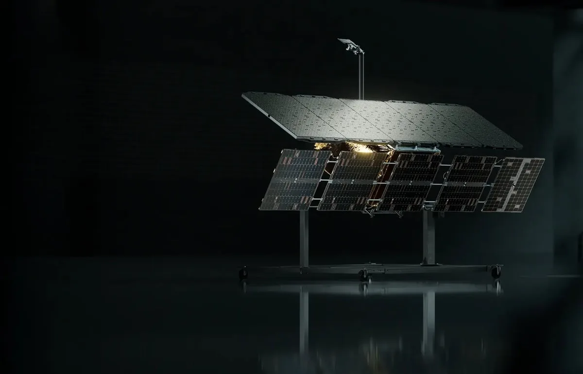
ICEYE radar satellites
ICEYE's fleet of small radar satellites that image the ground day or night through clouds, used for defense, disaster response and insurance claims.
Why it matters
Radar works in any weather, so it can track ships, troops, floods and wildfire damage when cameras can't. Frequent revisits let customers watch a site change over hours rather than days.
How the technology works
Small synthetic aperture radar satellites send microwave pulses and process the echoes into images. ICEYE sells the images and derived products such as flood and damage maps, and offers continuous monitoring of chosen areas.
Sources
Updated Oct 22, 2026 · How we source facts · Suggest a correction