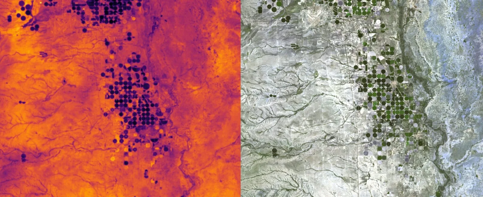
VanZyl thermal satellites
Hydrosat's first two thermal infrared satellites, VanZyl-1 and VanZyl-2, which map land surface temperature to show where crops are short of water.
Why it matters
Plants under water stress run warmer before they look different in a normal photo. Frequent thermal readings let growers irrigate earlier and use less water, and let governments track drought.
How the technology works
VanZyl-1 carried a thermal infrared instrument hosted on Loft Orbital's YAM-7 spacecraft, planned for launch on SpaceX Transporter-11 in July 2024. Hydrosat's second mission was planned as a multispectral and thermal imager on a Muon Space spacecraft.
Hydrosat describes VanZyl-1 and VanZyl-2 as its first two commercial thermal satellites. Data feeds its IrriWatch service.