

Osiris constellation
Planned satellites mapping land temperature every day
Thermal imaging satellite company with offices in Washington, DC and Luxembourg. Its satellites measure land surface temperature so farmers and governments can see crop water stress and plan irrigation.
Planned satellites mapping land temperature every day
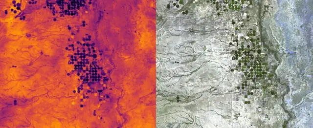
Heat-sensing satellites that spot crops short of water
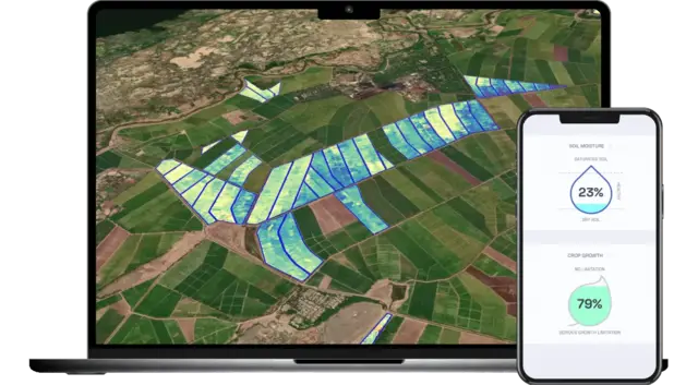
Daily satellite-based watering advice for each farm field
Updated Oct 22, 2026 · How we source facts · Suggest a correction