Building-Based Geocoding
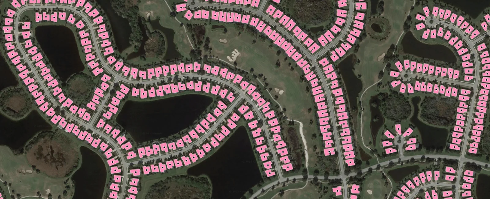
Address data tied to building footprints mapped from imagery, with added flood-zone and change-detection information.
Why it matters
Placing an address at a parcel center or street segment can put a home in the wrong flood zone. Tying addresses to the actual building improves risk pricing and emergency response.
How the technology works
Ecopia extracts building footprints from imagery with AI, links each footprint to an address, and attaches attributes such as flood zone and detected change.
Sources
Updated Oct 22, 2026 · How we source facts · Suggest a correction