3D Land Cover
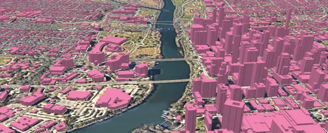
AI-made land cover maps with height for US cities
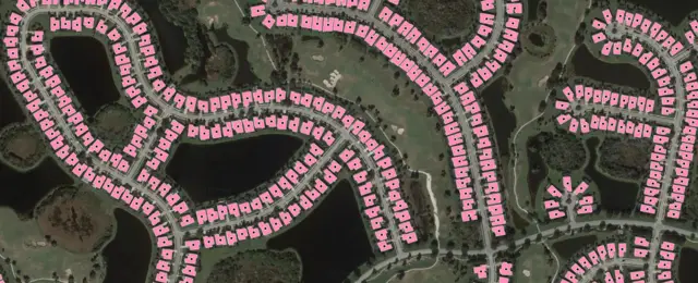
Company built on University of Waterloo research that uses AI to turn high-resolution geospatial imagery into detailed maps of buildings, roads and land cover for governments, insurers and engineers.
Its site lists CAL FIRE, the State of Connecticut, the State of North Carolina and the Government of Ontario as customers, and partnerships with Nearmap and Vantor.
AI-made land cover maps with height for US cities
Address data matched to building outlines mapped from imagery
Updated Oct 22, 2026 · How we source facts · Suggest a correction