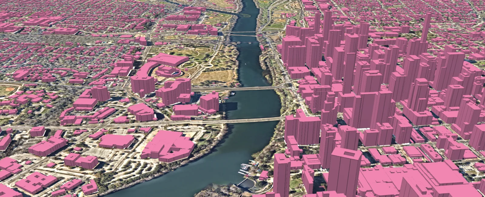
3D Land Cover
AI-extracted land cover maps with height information, available for 400 US cities; Connecticut and North Carolina have bought statewide land cover data.
Why it matters
Planners, utilities and insurers need to know where buildings, trees and pavement are. Mapping that by hand across a whole state takes years.
How the technology works
Ecopia runs its AI over high-resolution geospatial imagery to classify the ground into land cover types, adds 3D information, and delivers the result as map data.
Sources
Updated Oct 22, 2026 · How we source facts · Suggest a correction