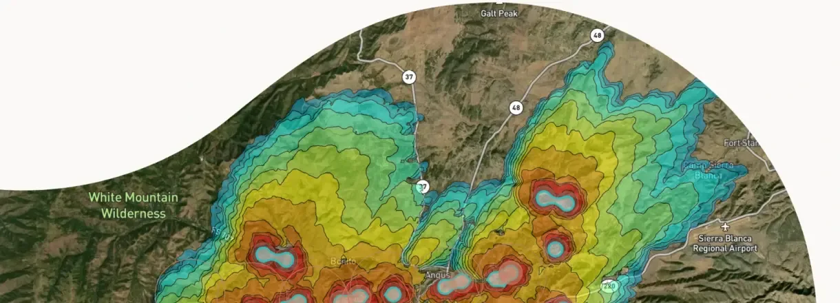
Wildfire Solution
OroraTech's software that combines its own satellites with more than 35 other satellite and ground sources to flag new fires early and monitor areas at risk.
Why it matters
Fire managers need one view of risk, active fires and likely spread to decide where to send crews. OroraTech says the platform is in use in Australia, Europe and the Americas.
How the technology works
The platform fuses thermal data from OroraTech's own satellites and other sources, flags hotspots, and lets users monitor the areas they care about. OroraTech sells fire-spread forecasting as a separate product.
Sources
Updated Oct 22, 2026 · How we source facts · Suggest a correction