Kuva Sense
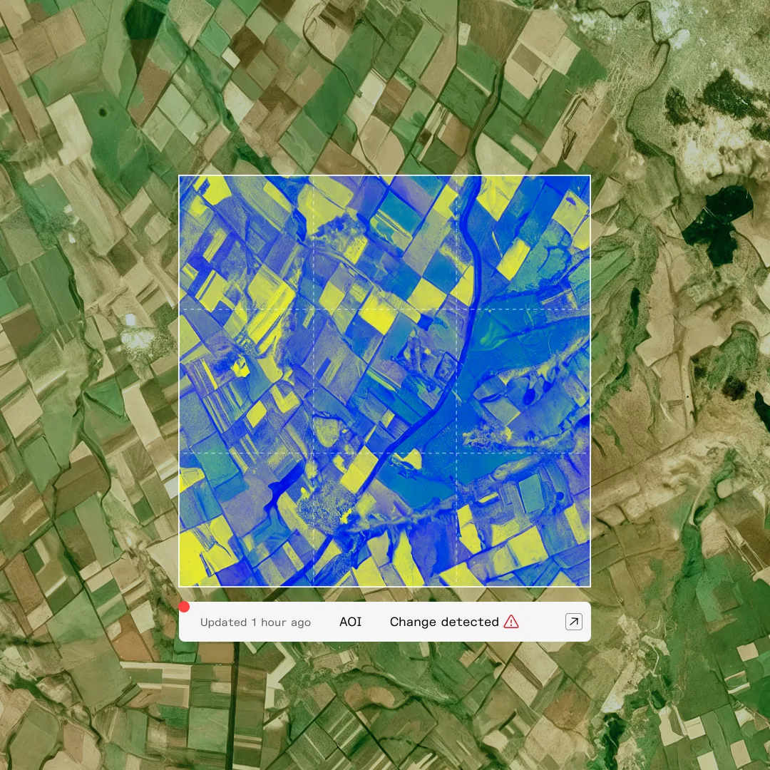
Kuva Space's software platform that turns hyperspectral satellite images into answers for farming, aquaculture, carbon and security customers.
Why it matters
Hyperspectral images are huge and hard to interpret. Selling ready answers instead of raw pixels is how small-satellite operators reach buyers who are not imagery specialists.
How the technology works
Images from Kuva's satellites run through the company's AI models, which match spectral signatures to materials such as crop types or water-quality indicators. Kuva offers it through an early-access program.
Sources
Updated Oct 22, 2026 · How we source facts · Suggest a correction