CRIS Wildfire
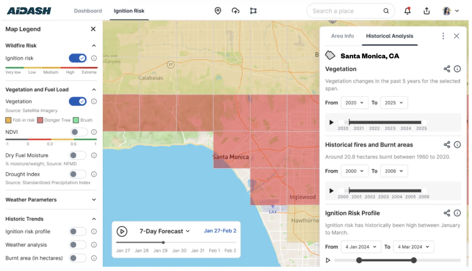
Wildfire situational awareness and risk tool for utilities that uses frequent satellite data on fuel load and moisture.
Why it matters
Utilities face large liabilities when their equipment starts fires and need current information on where conditions are most dangerous.
How the technology works
High resolution satellite data, refreshed up to seven times a week, feeds near-real-time assessments of fuel load, moisture and wildfire risk around utility infrastructure.
Sources
Updated Oct 22, 2026 · How we source facts · Suggest a correction