NewSpace AtlasSearch

Xplore

Washington-state company flying multi-sensor satellites that start with hyperspectral imaging, and selling Major Tom, its software for running satellite fleets.

Products, by altitude

Low Earth orbit · 160–2,000 km

  • In service

    XCUBE

    Satellites seeing Earth in many color bands at 5 meters

On the ground · 0 km · Earth’s surface

  • In service

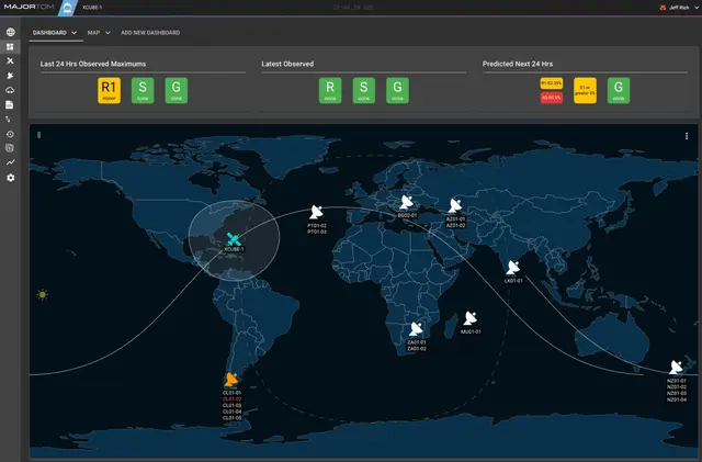
    Major Tom

    Software to schedule, command and download data from satellites

Milestones

  • Mar 2023 The National Reconnaissance Office awarded Xplore a contract to evaluate its commercial hyperspectral capabilities under its Strategic Commercial Enhancements program. Company statement⁠1

Sources

  1. Xplore press releaseMar 22, 2023
  2. Xplore press releaseJan 16, 2025

Updated Oct 22, 2026 · How we source facts · Suggest a correction