
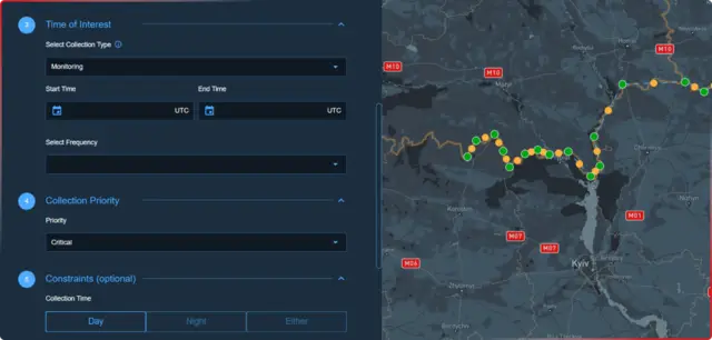
CNTIENT.Optimize
Software that plans what each imaging satellite photographs
Houston company whose AI software decides what a fleet of imaging satellites should photograph and when, so operators collect more useful data without planning every pass by hand. (1 product in the atlas)
Software that plans what each imaging satellite photographs
| Date | Agency | Program | Amount |
|---|---|---|---|
| Apr 2024 | NOAA | Ground Processing Demonstrations (BAA-NOAA-GPD-2023) | $900K3 |
| Nov 2022 | Air Force Research Laboratory | Contract extension for Cognitive Interference Tasking satellite-tasking software | $1.2M4 |
| Nov 2022 | Space Development Agency | SBIR Phase I (on-orbit data sharing algorithms, with Southwest Research Institute) | $275K4 |
Updated Oct 22, 2026 · How we source facts · Suggest a correction