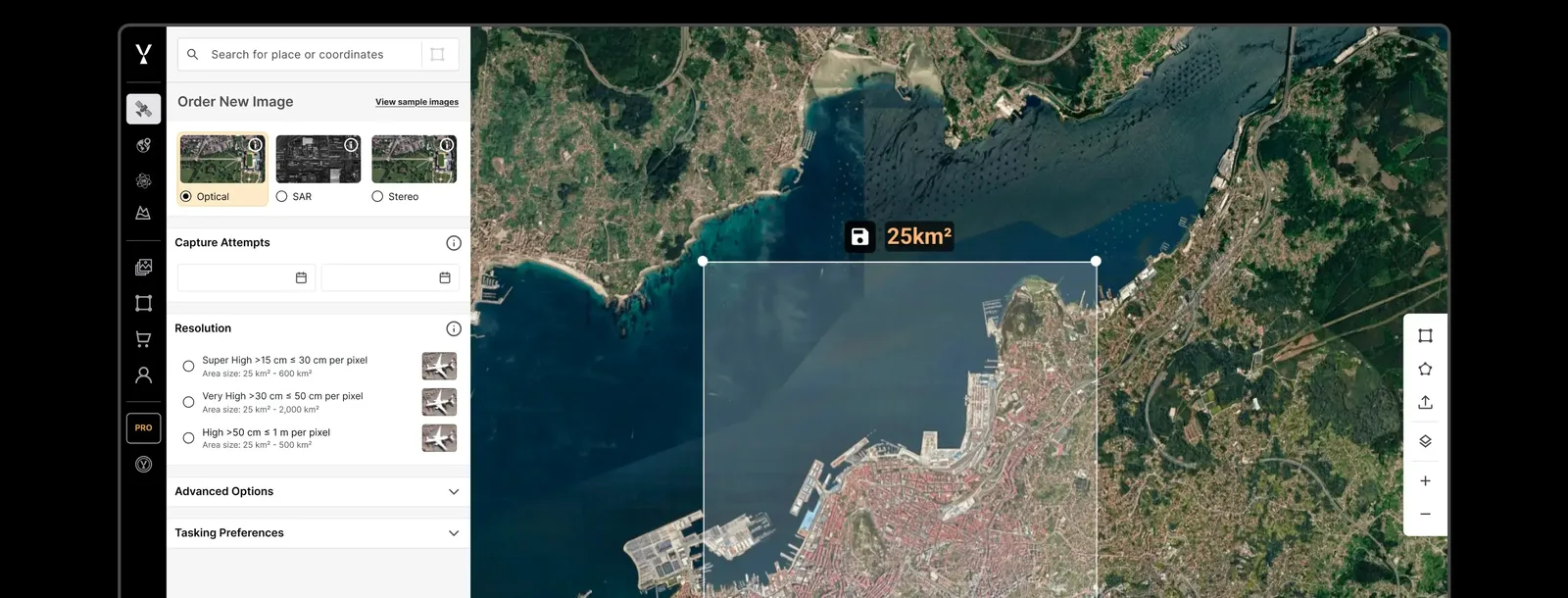
SkyFi platform
Web and mobile app for buying archive satellite images or tasking new ones from more than 50 imagery providers under one contract.
Why it matters
Buying satellite imagery used to mean negotiating with each operator. One storefront with listed prices opens the data to smaller companies, researchers and individuals.
How the technology works
SkyFi aggregates archives and tasking from partner operators covering optical, radar (SAR), hyperspectral and aerial imagery. Users pick an area, compare options and order, and can run built-in analytics without in-house GIS staff.
Sources
Updated Oct 22, 2026 · How we source facts · Suggest a correction