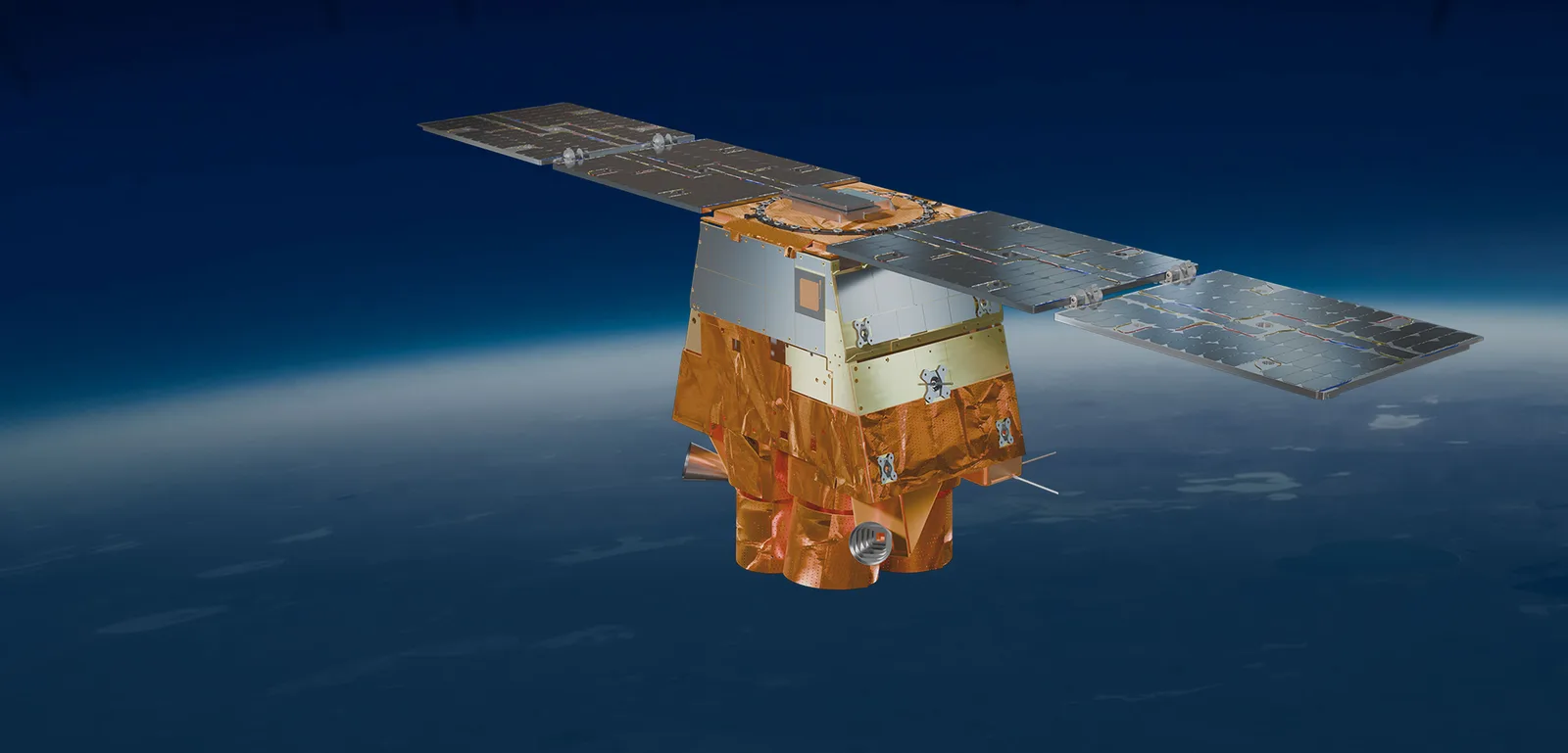
Merlin
A planned Satellogic constellation built for defense that aims to photograph the entire planet every day at 1-meter resolution.
Why it matters
A fresh daily map of all of Earth at 1 meter would let defense users spot change anywhere without knowing in advance where to look.
How the technology works
Satellogic says Merlin is funded by a $30 million customer contract and will carry 10 spectral bands, onboard AI processing and inter-satellite links for real-time alerts. In March 2026 it targeted a first launch in October 2026; its website now says Merlin will be fully operational in the second half of 2027.