SurfaceScout
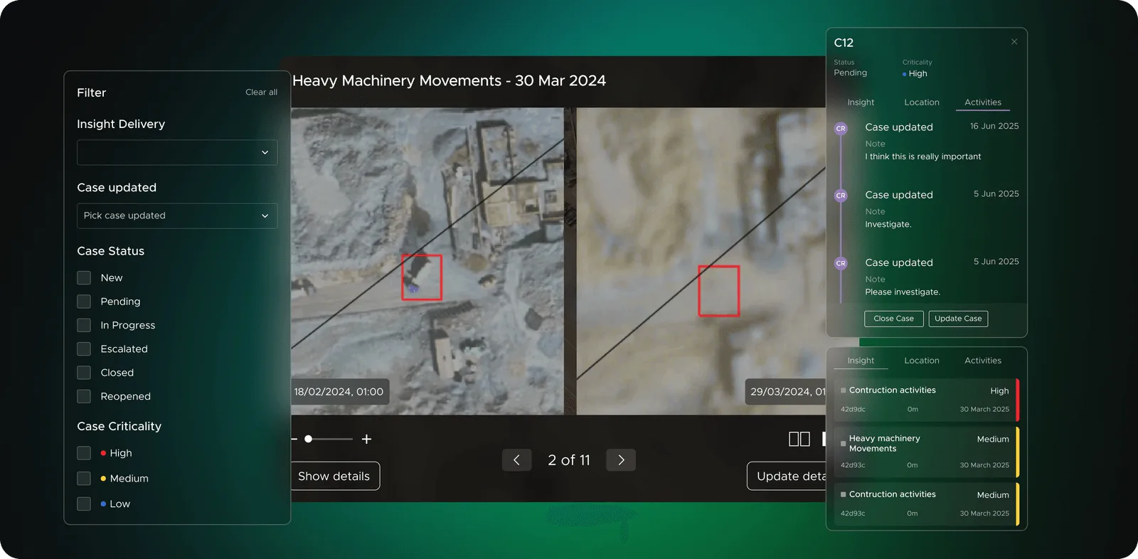
Pipeline monitoring service that spots digging, construction and ground movement near buried pipelines from satellite data.
Why it matters
Unauthorized digging and construction near pipelines can damage them, and ground patrols and flyovers often miss this activity. Catching it early gives operators time to step in before damage or a leak.
How the technology works
SurfaceScout runs AI change detection on satellite imagery along pipeline routes and alerts operators to new construction, excavation or ground movement.
Sources
Updated Oct 22, 2026 · How we source facts · Suggest a correction