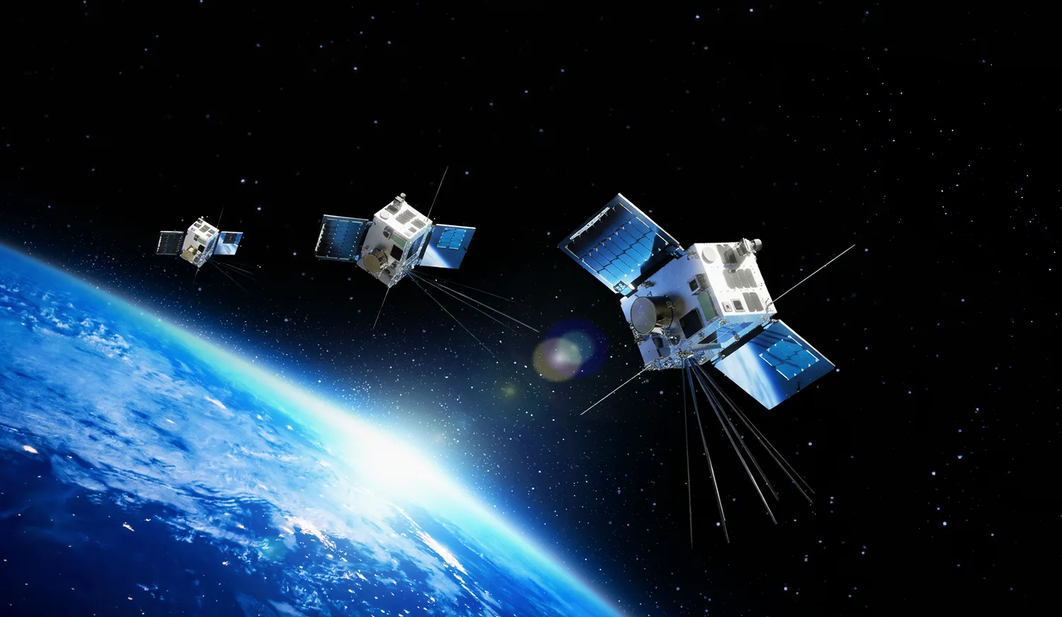
HawkEye 360 radio-tracking satellites
A fleet of more than 30 small satellites that detect radio transmissions from Earth and work out where they came from, used to track ships, radars and jammers for government customers.
Why it matters
Cameras show what something looks like. Radio sensing shows what is transmitting and where, which helps defense, intelligence and maritime security agencies track activity they cannot easily see.
How the technology works
The satellites collect radio-frequency data. HawkEye 360 runs it through its own signal processing and AI analytics to detect, locate, classify and track emitters such as radars, jammers, vessels and communications networks, and sells the results as data subscriptions and analytics.