Flood Intelligence Platform
Flood mapping service the company says the United Nations and several national governments have used to improve disaster response.
Why it matters
During a flood, responders need to know quickly where the water is. Satellite-based maps can cover large or remote areas that ground crews cannot reach.
How the technology works
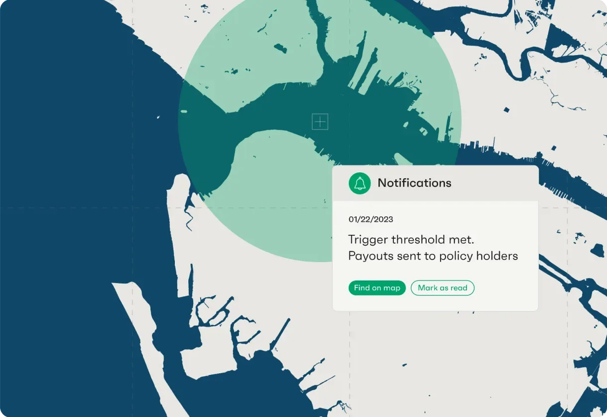
Floodbase maps flood extent from satellite data and delivers the maps to governments and agencies for response planning.
Sources
Updated Oct 22, 2026 · How we source facts · Suggest a correction