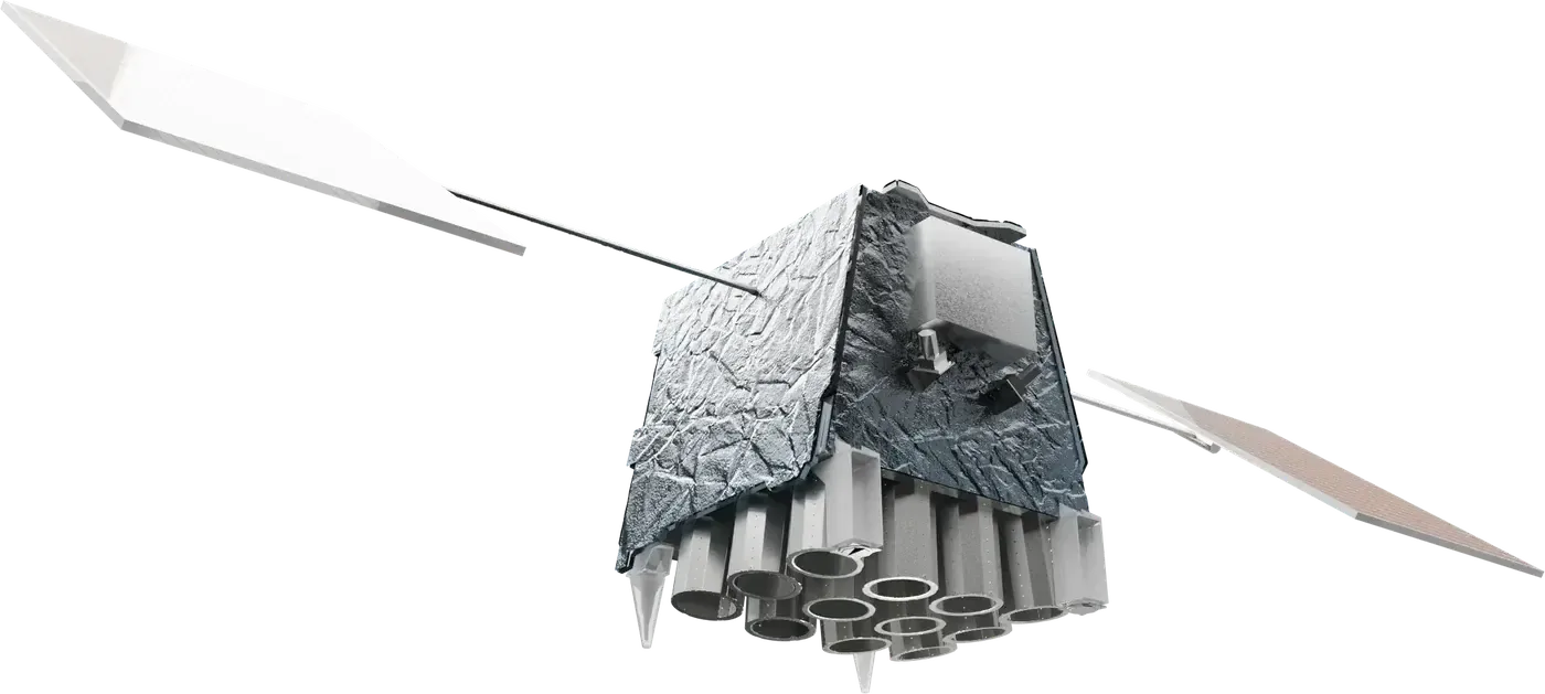
EarthDaily Constellation
A fleet of identical imaging satellites in a sun-synchronous orbit at about 608 km, built to image about 92% of Earth's land every day with consistent, calibrated data in 22 bands.
Why it matters
Most daily imaging fleets trade accuracy for coverage. A fleet built to science-grade calibration makes it easier to compare one day to the next, which is what crop, wildfire and mining analytics need.
How the technology works
Each satellite carries 16 imagers covering 22 spectral bands, from visible and near-infrared at 5 meters to shortwave and thermal infrared at coarser resolution. Six satellites (EDC-02 to EDC-07) launched together on a Falcon 9 rideshare in May 2026, and EDC-08 followed on Transporter-17 in July 2026.
EarthDaily said commercial operations would start later in 2026.
Sources
Updated Oct 22, 2026 · How we source facts · Suggest a correction